113th meridian west

Line across the Earth
113°
113th meridian west ()

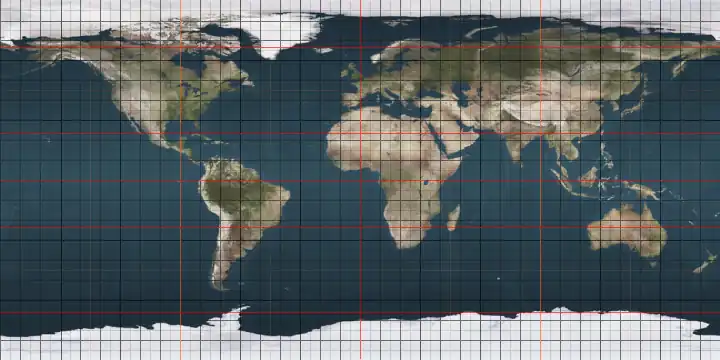
The meridian 113° west of Greenwich is a line of longitude[1] that extends from the North Pole across the Arctic Ocean, North America, the Pacific Ocean, the Southern Ocean, and Antarctica to the South Pole.

The 113th meridian west forms a great circle with the 67th meridian east.

From Pole to Pole

Starting at the North Pole and heading south to the South Pole, the 113th meridian west passes through:

Co-ordinates Country, territory or sea Notes
90°0′N 113°0′W / 90.000°N 113.000°W / 90.000; -113.000 (Arctic Ocean) Arctic Ocean
78°26′N 113°0′W / 78.433°N 113.000°W / 78.433; -113.000 (Canada)  Canada Northwest Territories — Borden Island
78°17′N 113°0′W / 78.283°N 113.000°W / 78.283; -113.000 (Wilkins Strait) Wilkins Strait
77°54′N 113°0′W / 77.900°N 113.000°W / 77.900; -113.000 (Canada)  Canada Northwest Territories — Mackenzie King Island
77°31′N 113°0′W / 77.517°N 113.000°W / 77.517; -113.000 Unnamed waterbody
76°16′N 113°0′W / 76.267°N 113.000°W / 76.267; -113.000 (Canada)  Canada Northwest Territories — Melville Island
75°5′N 113°0′W / 75.083°N 113.000°W / 75.083; -113.000 (Liddon Gulf) Liddon Gulf
74°58′N 113°0′W / 74.967°N 113.000°W / 74.967; -113.000 (Canada)  Canada Northwest Territories — Melville Island
74°24′N 113°0′W / 74.400°N 113.000°W / 74.400; -113.000 (Parry Channel) Parry Channel Viscount Melville Sound
73°0′N 113°0′W / 73.000°N 113.000°W / 73.000; -113.000 (Canada)  Canada Northwest Territories — Victoria Island
70°35′N 113°0′W / 70.583°N 113.000°W / 70.583; -113.000 (Prince Albert Sound) Prince Albert Sound
70°19′N 113°0′W / 70.317°N 113.000°W / 70.317; -113.000 (Canada)  Canada Northwest Territories — Linaluk Island and Victoria Island
Nunavut — from 70°0′N 113°0′W / 70.000°N 113.000°W / 70.000; -113.000 (Nunavut) on Victoria Island
68°29′N 113°0′W / 68.483°N 113.000°W / 68.483; -113.000 (Coronation Gulf) Coronation Gulf
67°57′N 113°0′W / 67.950°N 113.000°W / 67.950; -113.000 (Canada)  Canada Nunavut — Lawford Islands
67°55′N 113°0′W / 67.917°N 113.000°W / 67.917; -113.000 (Coronation Gulf) Coronation Gulf
67°40′N 113°0′W / 67.667°N 113.000°W / 67.667; -113.000 (Canada)  Canada Nunavut
Northwest Territories — from 65°39′N 113°0′W / 65.650°N 113.000°W / 65.650; -113.000 (Northwest Territories), passing through the Great Slave Lake
Alberta — from 60°0′N 113°0′W / 60.000°N 113.000°W / 60.000; -113.000 (Alberta)
49°0′N 113°0′W / 49.000°N 113.000°W / 49.000; -113.000 (United States)  United States Montana
Idaho — from 44°26′N 113°0′W / 44.433°N 113.000°W / 44.433; -113.000 (Idaho)
Utah — from 42°0′N 113°0′W / 42.000°N 113.000°W / 42.000; -113.000 (Utah), passing through the Great Salt Lake
Arizona — from 37°0′N 113°0′W / 37.000°N 113.000°W / 37.000; -113.000 (Arizona)
31°56′N 113°0′W / 31.933°N 113.000°W / 31.933; -113.000 (Mexico)  Mexico Sonora
30°33′N 113°0′W / 30.550°N 113.000°W / 30.550; -113.000 (Gulf of California) Gulf of California
28°27′N 113°0′W / 28.450°N 113.000°W / 28.450; -113.000 (Mexico)  Mexico Baja California
Baja California Sur — from 28°0′N 113°0′W / 28.000°N 113.000°W / 28.000; -113.000 (Baja California Sur)
26°33′N 113°0′W / 26.550°N 113.000°W / 26.550; -113.000 (Pacific Ocean) Pacific Ocean
60°0′S 113°0′W / 60.000°S 113.000°W / -60.000; -113.000 (Southern Ocean) Southern Ocean
74°9′S 113°0′W / 74.150°S 113.000°W / -74.150; -113.000 (Antarctica) Antarctica Unclaimed territory

See also

References

  1. ^ "What is longitude?". oceanservice.noaa.gov. Retrieved 1 July 2025.