132nd meridian west
.svg.png)
132°
132nd meridian west ()
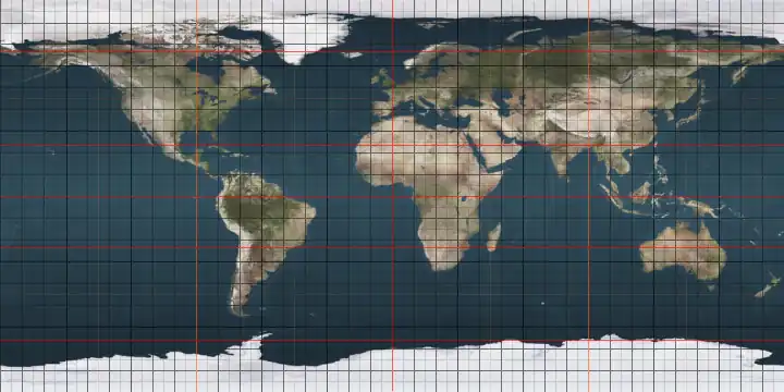
The meridian 132° west of Greenwich is a line of longitude[1] that extends from the North Pole across the Arctic Ocean, North America, the Pacific Ocean, the Southern Ocean, and Antarctica to the South Pole.
The 132nd meridian west forms a great circle with the 48th meridian east.
From Pole to Pole
Starting at the North Pole and heading south to the South Pole, the 132nd meridian west passes through:
Co-ordinates Country, territory or sea Notes 90°0′N 132°0′W / 90.000°N 132.000°W Arctic Ocean 74°59′N 132°0′W / 74.983°N 132.000°W Beaufort Sea 69°44′N 132°0′W / 69.733°N 132.000°W .svg.png) Canada
Canada
Northwest Territories
Yukon — from 64°39′N 132°0′W / 64.650°N 132.000°W
British Columbia — from 60°0′N 132°0′W / 60.000°N 132.000°W56°51′N 132°0′W / 56.850°N 132.000°W .png) United States
United States
Alaska — Alaska Panhandle (mainland), Wrangell Island, Deer Island and Cleveland Peninsula (mainland) 55°30′N 132°0′W / 55.500°N 132.000°W Clarence Strait 55°16′N 132°0′W / 55.267°N 132.000°W United States
Alaska — Prince of Wales Island 54°43′N 132°0′W / 54.717°N 132.000°W Dixon Entrance 54°2′N 132°0′W / 54.033°N 132.000°W Canada
British Columbia — Graham Island and Moresby Island 52°40′N 132°0′W / 52.667°N 132.000°W Pacific Ocean 60°0′S 132°0′W / 60.000°S 132.000°W Southern Ocean 74°19′S 132°0′W / 74.317°S 132.000°W Antarctica Unclaimed territory
See also
References
- ^ "What is longitude?". oceanservice.noaa.gov. Retrieved 1 July 2025.