158th meridian west

Line across the Earth
158°
158th meridian west ()

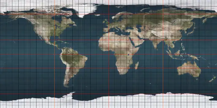
The meridian 158° west of Greenwich is a line of longitude[1] that extends from the North Pole across the Arctic Ocean, North America, the Pacific Ocean, the Southern Ocean, and Antarctica to the South Pole.

The 158th meridian west forms a great circle with the 22nd meridian east.

It is the western boundary of continuous Class E airspace between 14, 500 feet and 18, 000 feet MSL (Mean Sea Level) over Alaska.[2]

From Pole to Pole

Starting at the North Pole and heading south to the South Pole, the 158th meridian west passes through:

Co-ordinates Country, territory or sea Notes
90°0′N 158°0′W / 90.000°N 158.000°W / 90.000; -158.000 (Arctic Ocean) Arctic Ocean
70°50′N 158°0′W / 70.833°N 158.000°W / 70.833; -158.000 (Chukchi Sea) Chukchi Sea
71°12′N 158°0′W / 71.200°N 158.000°W / 71.200; -158.000 (United States)  United States Alaska
58°38′N 158°0′W / 58.633°N 158.000°W / 58.633; -158.000 (Bering Sea) Bering Sea Bristol Bay
57°24′N 158°0′W / 57.400°N 158.000°W / 57.400; -158.000 (United States)  United States Alaska — Alaska Peninsula
56°30′N 158°0′W / 56.500°N 158.000°W / 56.500; -158.000 (Pacific Ocean) Pacific Ocean Passing just west of Nakchamik Island, Alaska,  United States (at 56°20′N 157°54′W / 56.333°N 157.900°W / 56.333; -157.900 (Nakchamik Island))
Passing just east of Castle Cape, Alaska Peninsula,  United States (at 56°14′N 158°7′W / 56.233°N 158.117°W / 56.233; -158.117 (Castle Cape))
Passing just east of Chankliut Island, Alaska,  United States (at 56°9′N 158°6′W / 56.150°N 158.100°W / 56.150; -158.100 (Chankliut Island))
21°42′N 158°0′W / 21.700°N 158.000°W / 21.700; -158.000 (United States)  United States Hawaii — Oahu island
21°18′N 158°0′W / 21.300°N 158.000°W / 21.300; -158.000 (Pacific Ocean) Pacific Ocean Passing just west of Kiritimati island,  Kiribati (at 1°52′N 157°51′W / 1.867°N 157.850°W / 1.867; -157.850 (Kiritimati))
8°56′S 158°0′W / 8.933°S 158.000°W / -8.933; -158.000 (Cook Islands)  Cook Islands Penrhyn Island
9°4′S 158°0′W / 9.067°S 158.000°W / -9.067; -158.000 (Pacific Ocean) Pacific Ocean Passing just east of Atiu island,  Cook Islands (at 20°0′S 158°4′W / 20.000°S 158.067°W / -20.000; -158.067 (Attu Island))
Passing just west of Mangaia island,  Cook Islands (at 21°55′S 157°58′W / 21.917°S 157.967°W / -21.917; -157.967 (Nakchamik Island))
60°0′S 158°0′W / 60.000°S 158.000°W / -60.000; -158.000 (Southern Ocean) Southern Ocean
77°45′S 158°0′W / 77.750°S 158.000°W / -77.750; -158.000 (Antarctica) Antarctica Ross Dependency, claimed by  New Zealand

See also

References

  1. ^ "What is longitude?". oceanservice.noaa.gov. Retrieved 1 July 2025.
  2. ^ "Aeronautical Information Manual - AIM - Controlled Airspace". www.faa.gov. Retrieved 2020-11-13.