Kjerulf Glacier
| Kjerulf Glacier | |
|---|---|
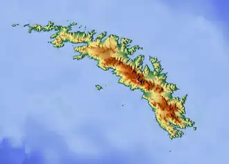 Location of Kjerulf Glacier in South Georgia | |
| Location | South Georgia |
| Coordinates | 54°21′S 36°51′W / 54.350°S 36.850°W |
| Length | 7 nmi (13 km; 8 mi) |
| Thickness | unknown |
| Terminus | Newark Bay |
| Status | unknown |
Kjerulf Glacier, Norwegian: Kjerulfbreen, (54°21′S 36°51′W / 54.350°S 36.850°W) is a glacier 7 nautical miles (13 km) long flowing west from Mount Sugartop to the east side of Newark Bay, on the south coast of South Georgia. It was mapped by Olaf Holtedahl during his visit to South Georgia in 1927–28, and named by him for Norwegian geologist Theodor Kjerulf, Professor of Mineralogy at the University of Christiania.[1][2]
See also
References
- ^ "Kjerulf Glacier". Geographic Names Information System. United States Geological Survey, United States Department of the Interior. Retrieved 9 May 2013.
- ^ "Kjerulf Glacier, Antarctica". Geographical Names. Retrieved 22 January 2018.
![]() This article incorporates public domain material from "Kjerulf Glacier". Geographic Names Information System. United States Geological Survey.
This article incorporates public domain material from "Kjerulf Glacier". Geographic Names Information System. United States Geological Survey.
Capital: King Edward Point | |||||||
| General |
| ||||||
| Settlements / Whaling stations |
| ||||||
| South Georgia islands |
| ||||||
| South Sandwich Islands |
| ||||||
| Seamounts |
| ||||||
| Landmarks |
| ||||||