Unistalda
Unistalda | |
|---|---|
 Coat of arms | |
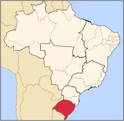
 Location in Rio Grande do Sul state | |
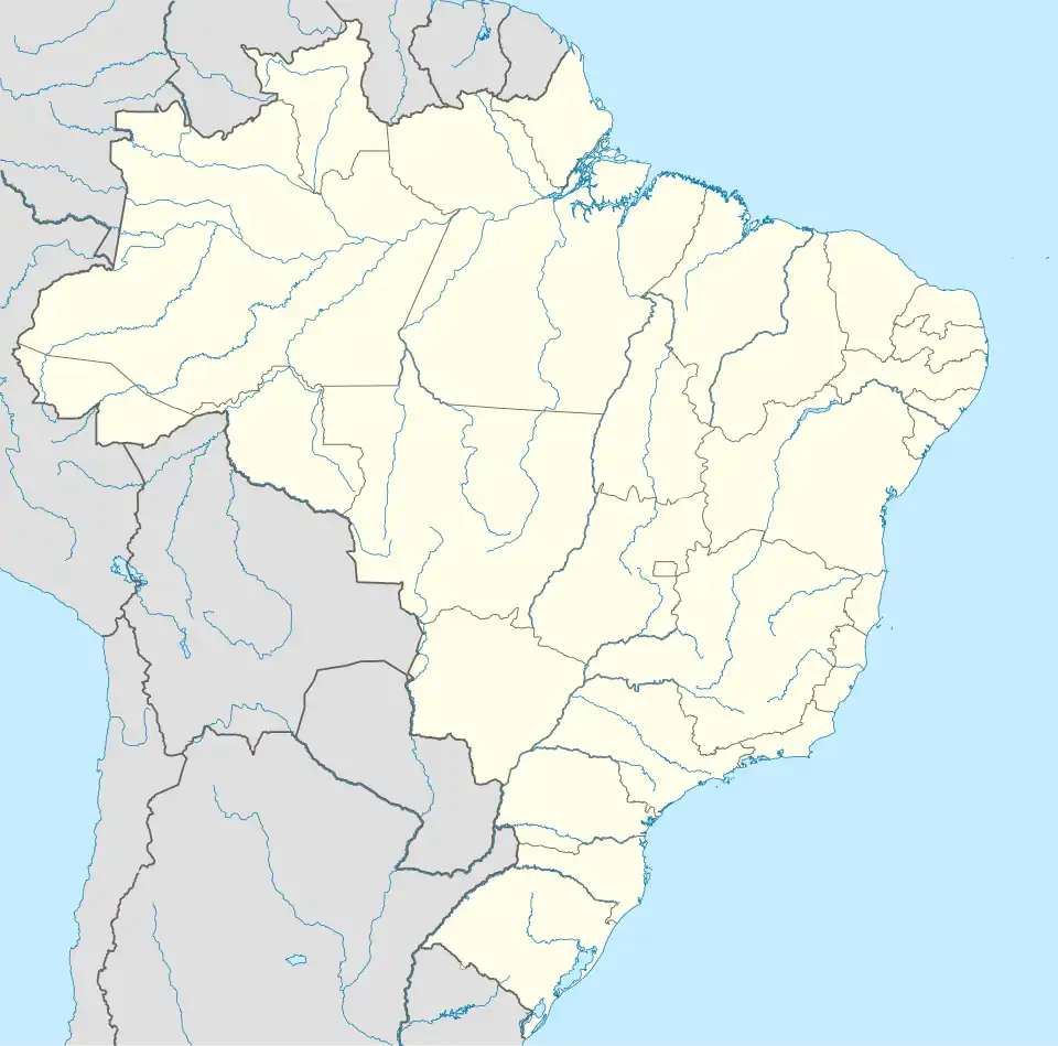 Unistalda Location in Brazil | |
| Coordinates: 29°2′50″S 55°9′1″W / 29.04722°S 55.15028°W | |
| Country | Brazil |
| Region | South |
| State | Rio Grande do Sul |
| Mesoregion | Centro Ocidental Rio-Grandense |
| Microregion | Santiago |
| Area | |
• Total | 602.39 km2 (232.58 sq mi) |
| Elevation | 361 m (1,184 ft) |
| Population (2022 [1]) | |
• Total | 1,995 |
| • Density | 3.3/km2 (8.6/sq mi) |
| Time zone | UTC−3 (BRT) |
| Postal code | 97755-xxx |
| Website | www |
Unistalda is a municipality of the western part of the state of Rio Grande do Sul, Brazil. The population is 1,995 (2022 census) in an area of 602.39 km².[2] Its elevation is 361 m. It is located west of the state capital of Porto Alegre and northeast of Alegrete.